Residential Land for Sale in Horseshoe Bend, Arkansas
1102 Rolling Lane Sq Horseshoe Bend, AR 72512
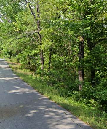
Located in Izard County on Rolling Stone Lane, this tract would make for a fantastic homeplace. Rolling Stone Lane provides paved road frontage and utilities to the area. Recreational opportunities exist on the nearby Crown Lake, which is just 6 miles away from the property. To set up a property visit call Cole Westbrook. 501-650-5210 .
Seller to retain mineral rights.
Directions: From the intersection of Highway 9 and HIghway 354, take Highway 354 heading east. You will stay on Highway 354 for about 10 miles. From there you will turn onto Ridge Road heading north. Stay on Ridge road for 700 feet. Then you will turn east onto Rolling Lane. Stay on Rolling Lane for .25 of a mile. There you will dead end into Rolling Lane Square. Head north on Rolling Lane Square then follow Rolling Lane square for 800 feet. The subject tract will be on the east side of the road.
Location
- Street Address
- 1102 Rolling Lane Sq
- County
- Izard County
- Elevation
- 699 feet
Property details
- Date Posted
Resources
Listing history
| Date | Event | Price | Change | Source |
|---|---|---|---|---|
| Aug 12, 2024 | New listing | $2,000 | — | Listing agent |