Residential Land for Sale in Cane Beds, Arizona
103-1 S Highway 389 Cane Beds, AZ 86022
Images
Map
Street


$140,000
2.11 acres
Active sale agoEst $1,024/mo
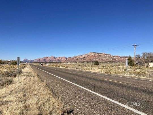
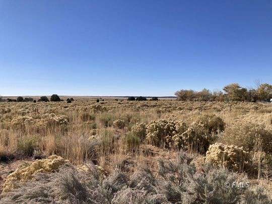
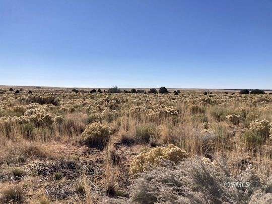
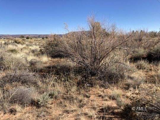
This is a place to settle on Highway 389 frontage. Has Electricity and a shared water well and survey plat map available. Beautiful view of Cottonwood Point Wilderness mountains. Schools and shopping are in Colorado City. Property located in the unincorporated area of Mohave County. Seller Financing Available.
Location
- Street Address
- 103-1 S Highway 389
- County
- Mohave County
- Community
- Cane Beds
- Elevation
- 4,862 feet
Property details
- Zoning
- Agricultural, Horse Property
- MLS Number
- FMLS 1500933
- Date Posted
Property taxes
- Recent
- $100
Parcels
- 404-26-103
Detailed attributes
Listing
- Type
- Land
Exterior
- Fencing
- Fenced
- Features
- Horse Property, Partial Fenced, View of Mountains
Nearby schools
| Name | Level | District | Description |
|---|---|---|---|
| Colorado City | Elementary | — | — |
| Colorado City | Middle | — | — |
| Colorado City | High | — | — |
Listing history
| Date | Event | Price | Change | Source |
|---|---|---|---|---|
| May 30, 2024 | New listing | $140,000 | — | FMLS |
Payment calculator

Contact listing agent
By submitting, you agree to the terms of use, privacy policy, and to receive communications.